Description
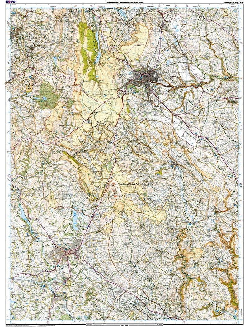
- Shows part of the Peak National Park
- Also covering the Pennine Bridleway, High Peak Trail and Tissington
- 1:25 000 (4 cm to 1 km, 2½ inches to 1 mile)
- 1000mm x 890mm (134mm x 227mm folded)
Ordnance Survey Explorer Maps are highly detailed, suitable for planning routes and finding your exact position in the outdoors. They show public rights of way (such as footpaths, bridleways and trails), boundaries, landscape features and places of interest.
The map scale is 1:25000 - every 1cm on the map is equal to 250m on the ground.
Highlights include: Castle rock, Middleton Dale, Derbyshire Dales, The Roaches, Buxton, Bakewell, Matlock, Dovedale, Chatsworth House, limestone caves, and the thermal springs at Middleton Stoney.
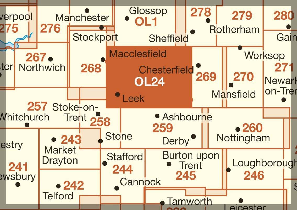
Adjacent maps:
OL1 The Peak District - Dark Peak Area
259 Derby
268 Wilmslow, Macclesfield & Congleton
269 Chesterfield & Alfreton
258 Stoke-on-Trent & Newcastle-under-Lyme
The Ordnance Survey Explorer Active OL24 White Peak map will aid all your excursions in the White Peaks area, which takes its name from its limestone landscape.
Using the pretty town of Stoney Middleton as a base, serious climbers can take on ‘Our Father’, a challenging climb up Windy Buttress. Alternatively, head underground to explore over 3000 metres of caves at the limestone gorge of Middleton Dale. There are bustling towns in the white peak area of the Peak District including Buxton and Matlock, or you could treat yourself to one of Bakewell's legendary tarts.
Whether you’re passionate about cycling and sightseeing, or rambling and riding, you’ll get the most out of your days out in the White Peaks with the OS Explorer OL24 map to guide you.
Delivery
Delivery
Standard Delivery (£3.99)
FREE on orders over £80.00*A tracking link will be provided once your order is despatched
*Certain items such as bikes and other large items do not qualify for free delivery. In these cases the available delivery options will be shown at checkout.
Next Day Delivery (£5.99)
Order by 5pm. Delivered by Evri or DPD between 8am and 8pm Monday-Sunday, excluding Bank Holidays. Cannot be offered in the following areas, and will be attempted within 48 hours: BT (all Northern Ireland), GY, IM, JE, KW11-17, HS, PH32-35, ZE.
Certain items such as bikes do not qualify for next delivery. In these cases Next Day Delivery will not be available in the checkout.
Click and Collect
Please wait for confirmation that your entire order has been prepared and is ready to collect before travelling to store.
Select a store, and if your items are already available in-store then you can pay now and often collect the same day or the following day.
If the item is not available in-store then we will deliver it to the store from our warehouse. An estimated delivery date will be shown at the checkout before you confirm.
Returns
Returns
Order supplied by GO Outdoors can be returned to us for refund or exchange within 28 days of delivery or collection. View our returns policy here.
Orders supplied by our Trusted Partners must be returned to the supplier. Details of how to do this will be included on the paperwork that comes with your order.
Complete the Look
Related
Ordnance Survey Explorer Active Map OL24 The Peak District (White
Free standard delivery on orders £80+
28 day returns
Product Code: 300225