-

Expert Advice
From time to time, everyone needs a little advice. At GO, we want you to be prepared for new adventures so that they are as enjoyable as possible. Our broad selection of guides covers all sorts of useful stuff, from buying advice to handy checklists and gear care tips.

Browse a range of in-depth advice on outdoor activities such as hiking, camping, rock climbing, cycling, running and more!
Whether you're a seasoned adventurer or just starting out, these pages will help you get the most out of your time outdoors, and stay safe while doing so.
Featured Guides
-

Bike Size Guide: Adults & Kids
-

A Beginner's Guide to Mountain Biking
-
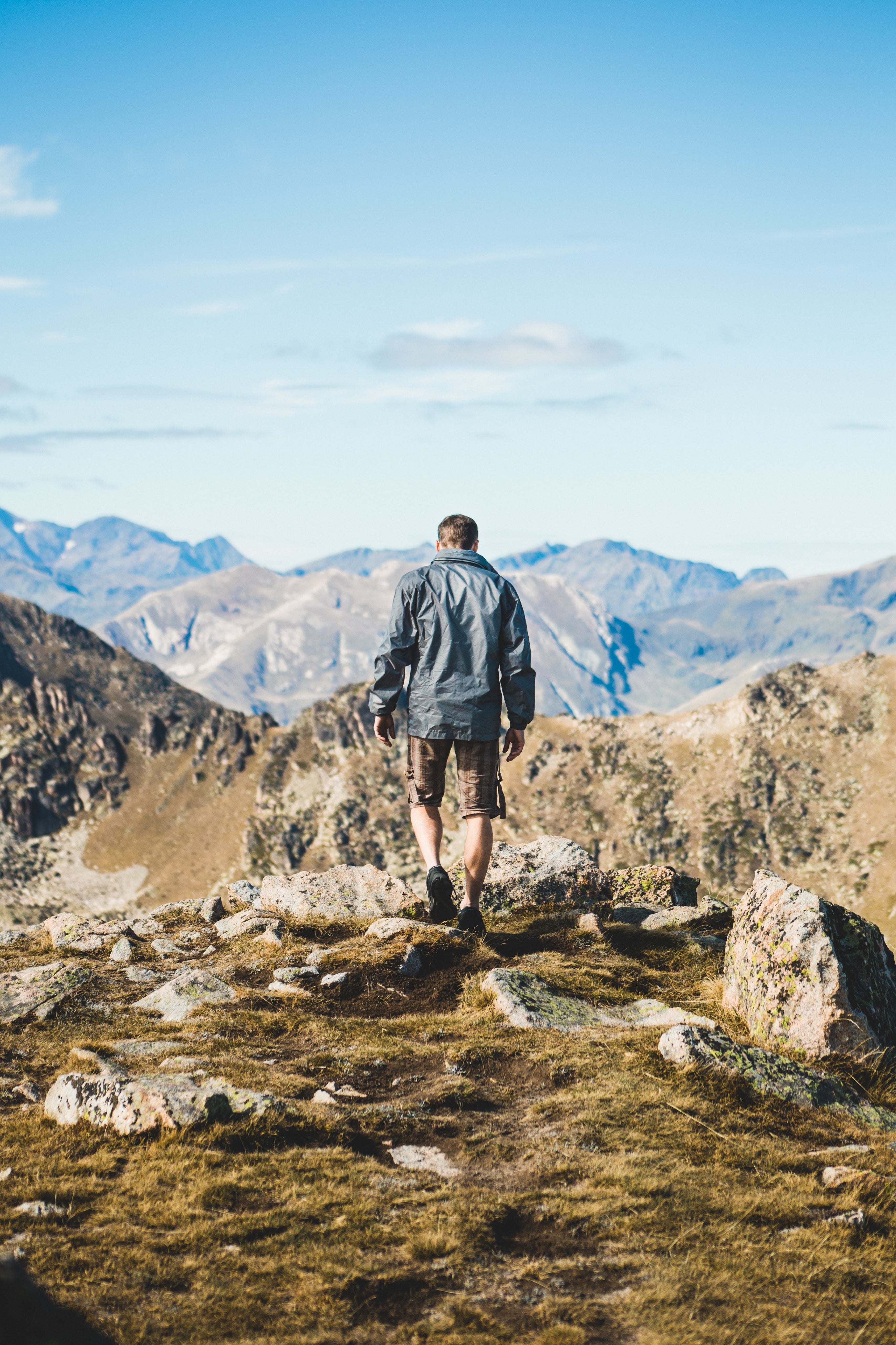
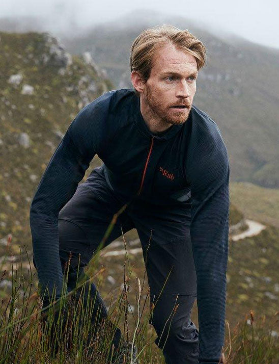
The Layering System
-
A Guide to Merino Wool
-
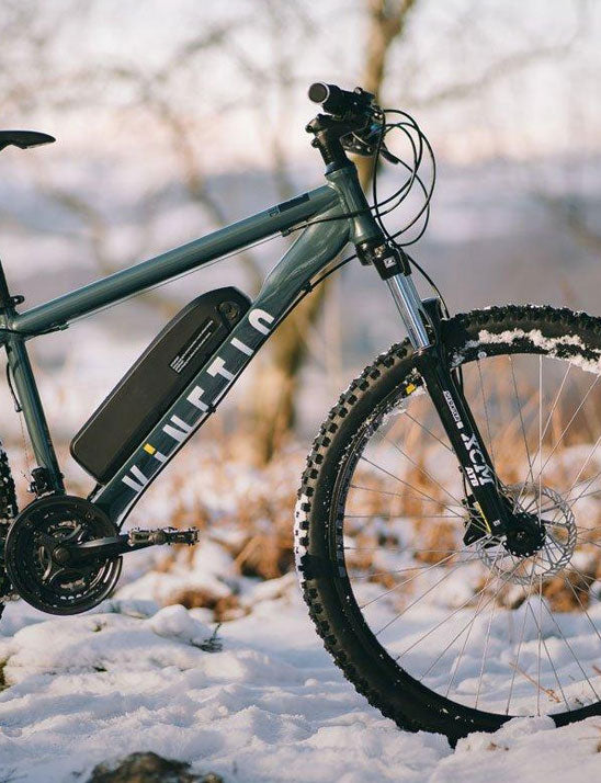
E-bikes Buying Guide

Camping Guides
Top tips for buying the right tent, what to take on different camping trips, caring for your tent, how to prepare for a DofE Expedition and more.
-

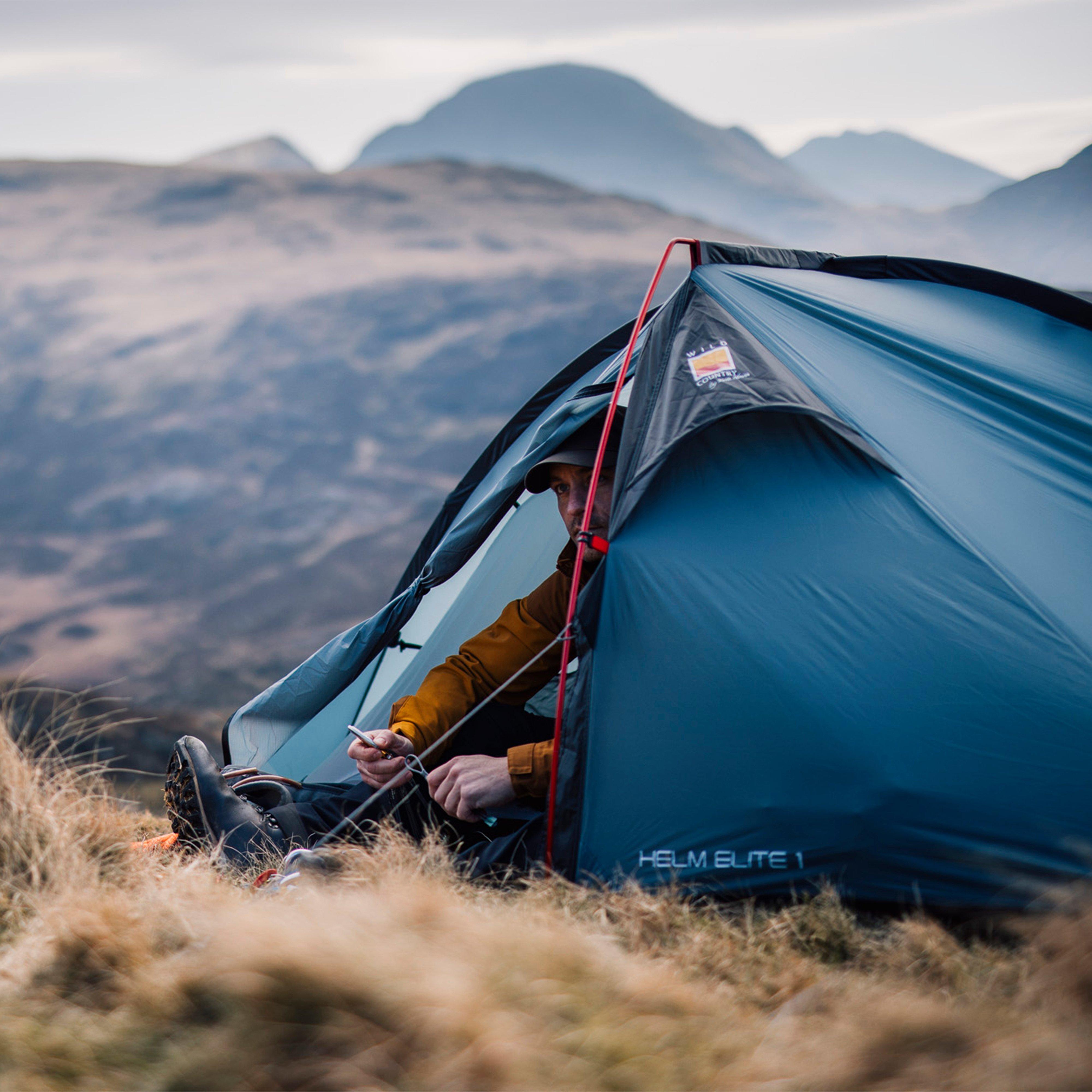
Expert Advice: A Guide to Camping
Everything You Need to Know for a Perfect Camping Adventure with Helen Skelton & Sean Fletcher Welcome to the ultimate GO camping guide! Whether you're an experienced camper or gearing...
Read Article -

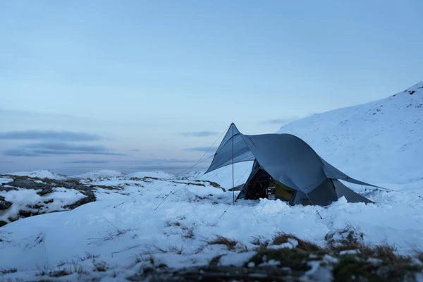
Expert Advice: Tent Buying Guide
At GO Outdoors we understand that choosing the right tent is vital for an enjoyable and comfortable experience. Whether you’re planning a family weekend trip away, a multi-day hike, or...
Read Article -

Expert Advice: Sleeping Systems
You've picked out your tent, and now you need to think about your sleeping setup. In this guide, we'll take you through what you'll need to consider when buying your...
Read Article -
Expert Advice: A Guide to Cooling
There is little worse than a warm drink to quench the thirst on a summer day when all you really wanted was a cold can, or that slightly soggy ham...
Read Article -
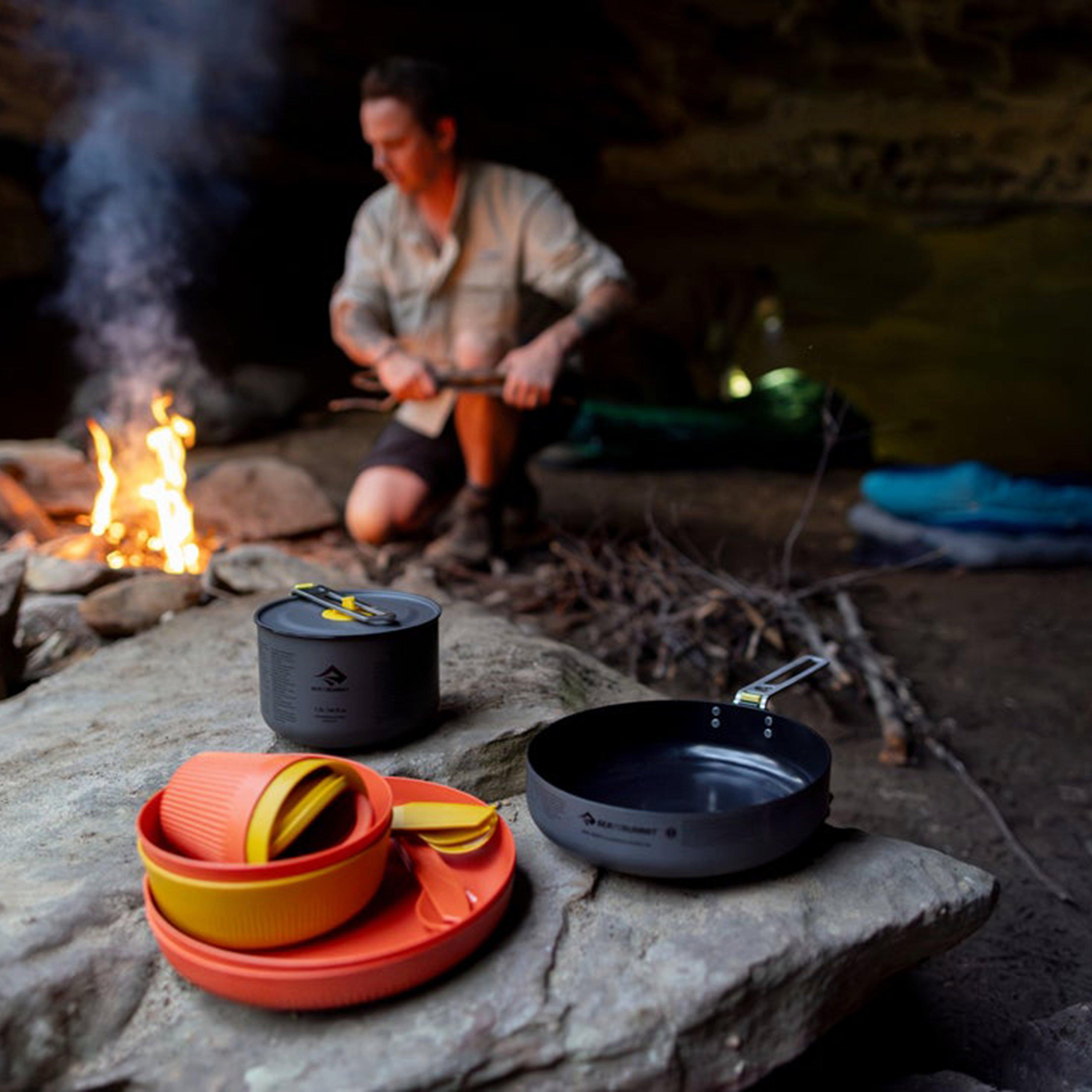
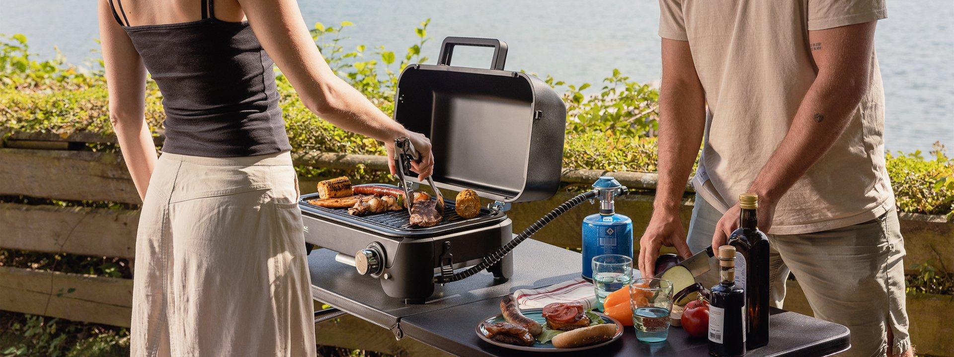
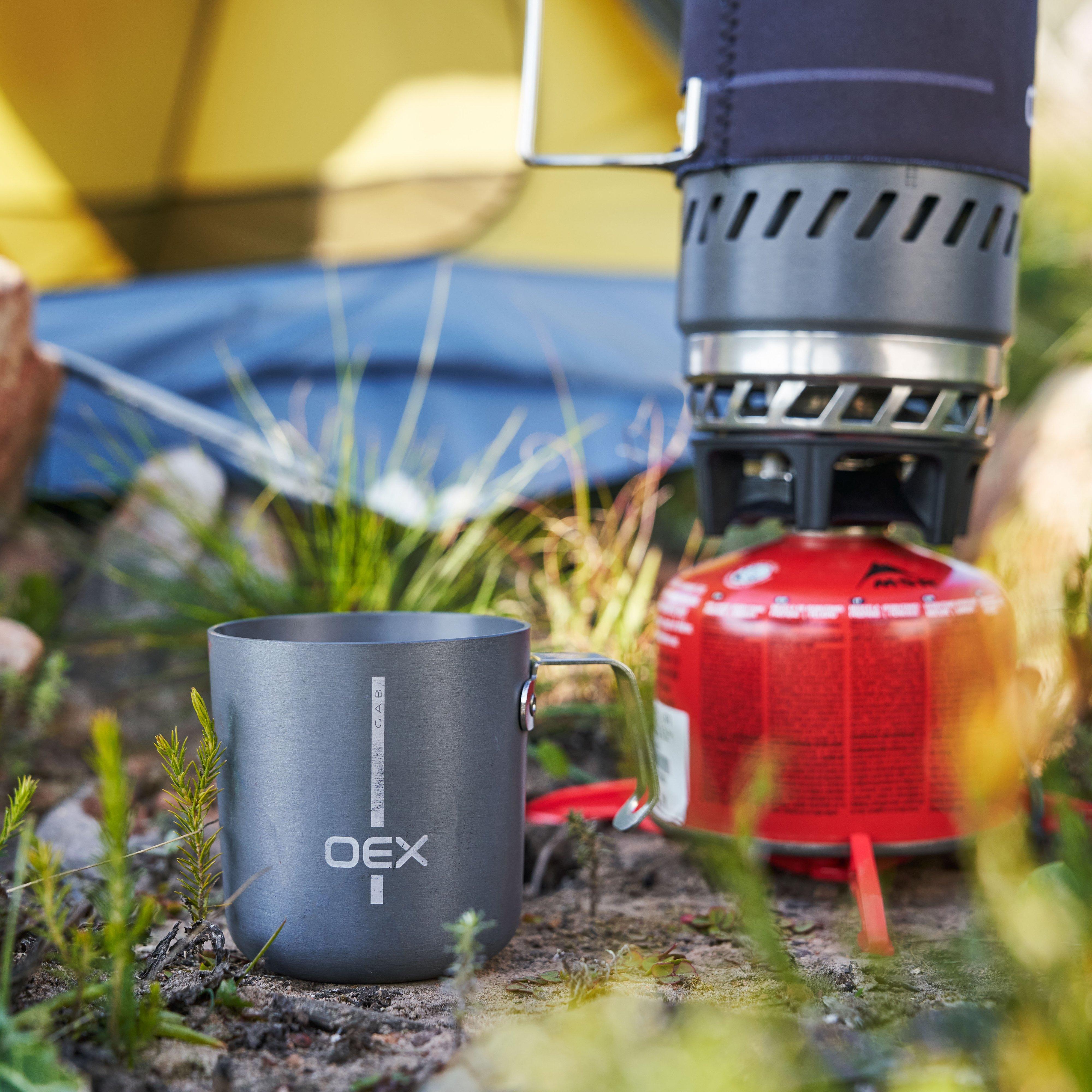
Guide to Cooking Outdoors
GO Outdoors Guide to Cooking Outdoors We're a nation that loves a good barbecue (when the weather permits) so cooking outdoors is a big favourite. With so many options to...
Read Article -

Camp Cooking Made Easier with Campingaz
Breakfast Lunch Dinner Dessert Don’t go hungry in the outdoors! Check out GO Outdoors’ range of camping recipes, allowing even the most inexperienced cooks to provide delicious campsite meals for...
Read Article -
How to Look After Your Tent
Taking care of your tent is essential to ensure it lasts through the many seasons of camping. For campers, the longevity and performance of your tent are crucial to a...
Read Article -
Expert Advice: Camping Checklist
Struggling with everything you need to take camping? Are you a first-time camper or going to a festival this summer? Every camper is different, and here at GO Outdoors, we...
Read Article


Caravanning Guides
-
Expert Advice: A Guide to Awnings
A campervan awning is just like a tent. It attaches to your campervan, providing additional living space, so that you can make the most of your van-life getaways! Whether you’re...
Read Article -
Expert Advice: Powering Your Appliances
Choose the right batteries, from 12v to 240v, and understand inverters, mains power and portable power. Shop Power Supplies 12v Appliances Portability Car Camping and Caravanning Availability Requires a Car...
Read Article -
A Guide to Toilets & Toilet Chemicals
At GO Outdoors we stock a wide variety of toilet chemicals, from a neutralizer, which works to kill odours and germs dead, to environmentally friendly cleaners that do not contain...
Read Article -
A Guide to Water Filters & Waste Disposal
A part of caravanning is the need to transport water, both fresh and waste. By choosing the right water pump and disposal units you can ensure this process if safe...
Read Article -
A Guide to Wheel Clamps, Hitchlocks & Towing
Shop All Towing What laws exist for towing trailers? All luggage trailers must be fitted with a trailer board. This must include the following: 2 x Red rear lights, T2...
Read Article


Walking Guides
-
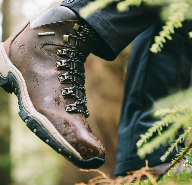
Expert Advice: Fitting & Choosing Walking Boots
Which walking boots are right for you? Looking after your feet as a walker is one of the most important things you can do. Choosing walking boots can often be...
Read Article -
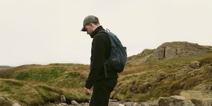
The Ultimate Rucksack Guide
Whatever activity you enjoy, you need to ensure that all your essentials are packed well and securely. At GO Outdoors we stock a wide range of packs for a variety...
Read Article -
A Guide to Choosing Walking Socks
When your feet start to hurt on a walk, we're always quick to blame the boots, but did you know that wearing the right kind of socks can actually help...
Read Article -
Buying Guide: Head Torches
Don’t let dark skies get in the way of hiking, running or climbing. See and be seen with a trusty head torch. Head torches can vary depending on the technologies...
Read Article -

Expert Advice: A selection of some walking routes to try around the UK
Are you looking for somewhere to get your boots muddy this weekend? We’ve compiled a few lists that might help you find what you’re looking for! With over 150 walks...
Read Article


Travel Guides
-
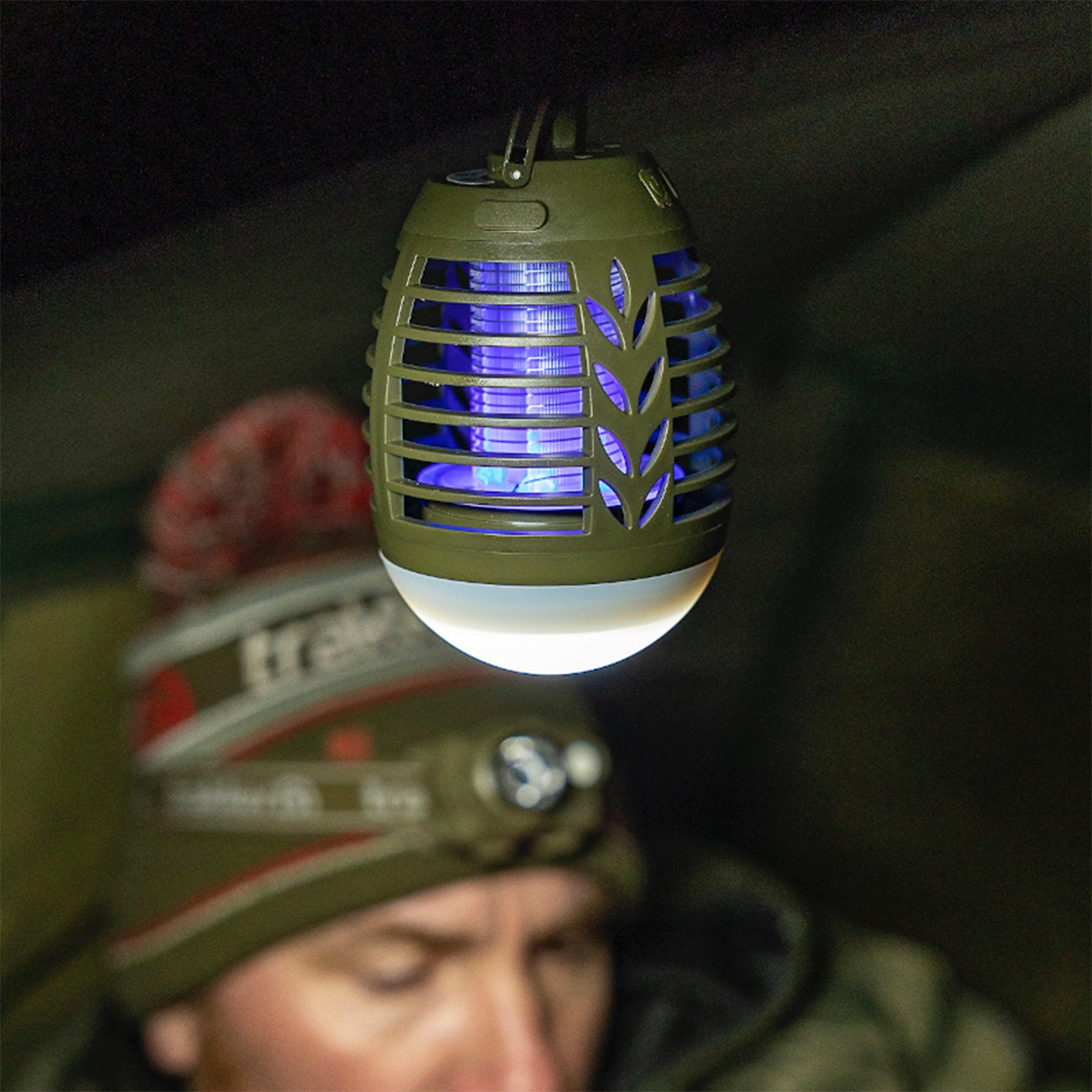
A Guide to Insect Repellent
In Great Britain we have insects that tend to irritate rather than harm us. In contrast, less developed countries are more prone to insect infestations thanks to their warm climates,...
Read Article -
Buying Guide: Walking Sandals
Walking sandals are designed for multiple uses and lowland walking. With an open construction, walking sandals are highly breathable and airy, meaning that they are typically suitable for use in...
Read Article -
A Guide to Sun Protection
Tanning is a natural response created by our bodies to warn us of the dangers of being in the sun. When our faces of bodies are exposed to UV rays...
Read Article -
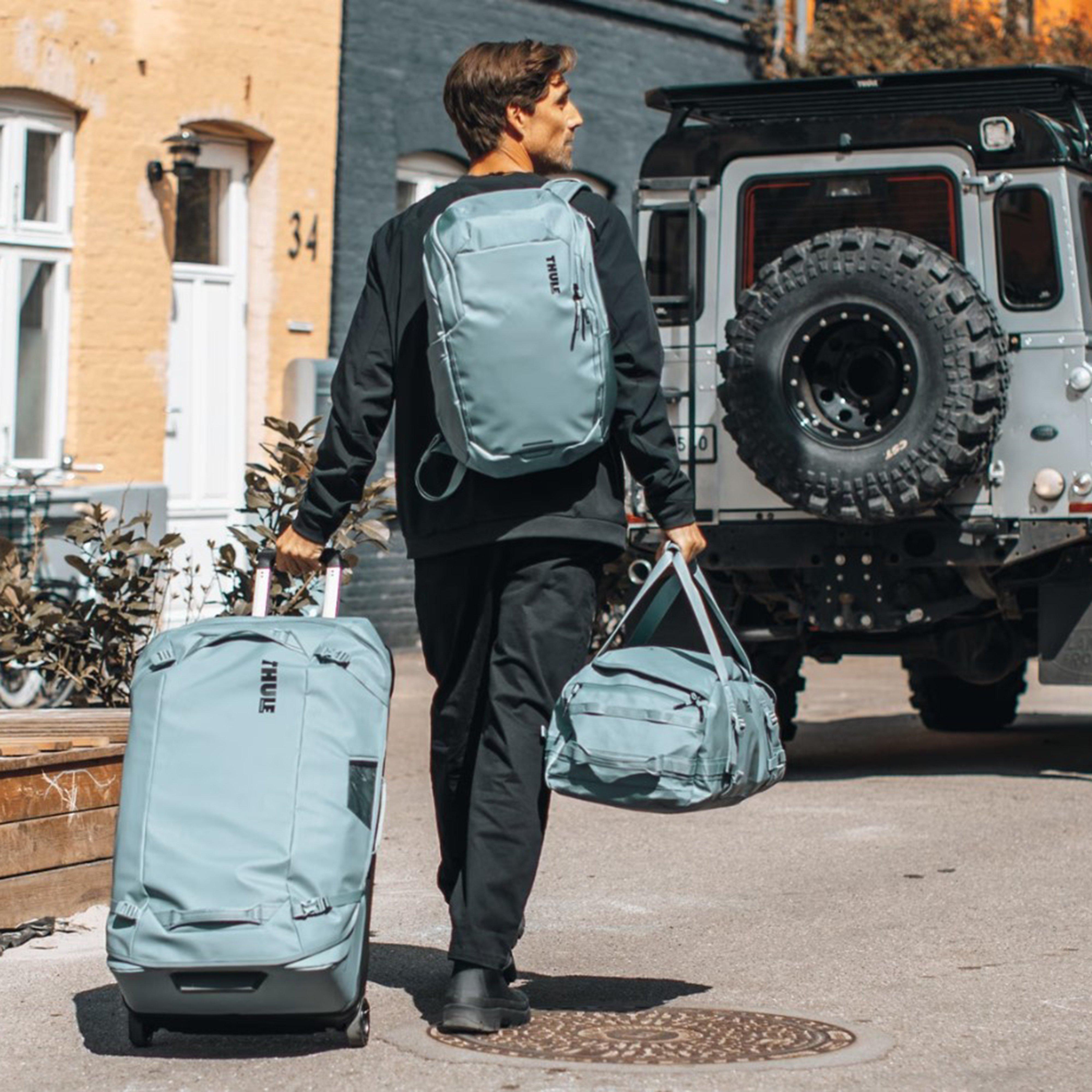
A Guide to Travel Bags & Bumbags
Travel bags need to be functional and durable to cope with being taken on long adventures. A cross between a backpack and a suitcase, travel bags should be capable of...
Read Article -
A Guide to Water Purification
Whether you’re camping close to home or travelling across multiple countries or continents, you need to be aware of viruses and bacteria which potentially live in your drinking water. To...
Read Article


Cycling Guides
Guides designed to help you choose the right bike, along with tips on bike accessories and kids' bikes.
-
Bike Size Guide: Adults & Kids
Getting the right bike size makes a bigger difference than most people expect. Ride a frame that is too large, and you are constantly stretching to reach the bars, which...
Read Article -
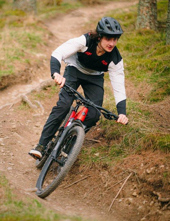
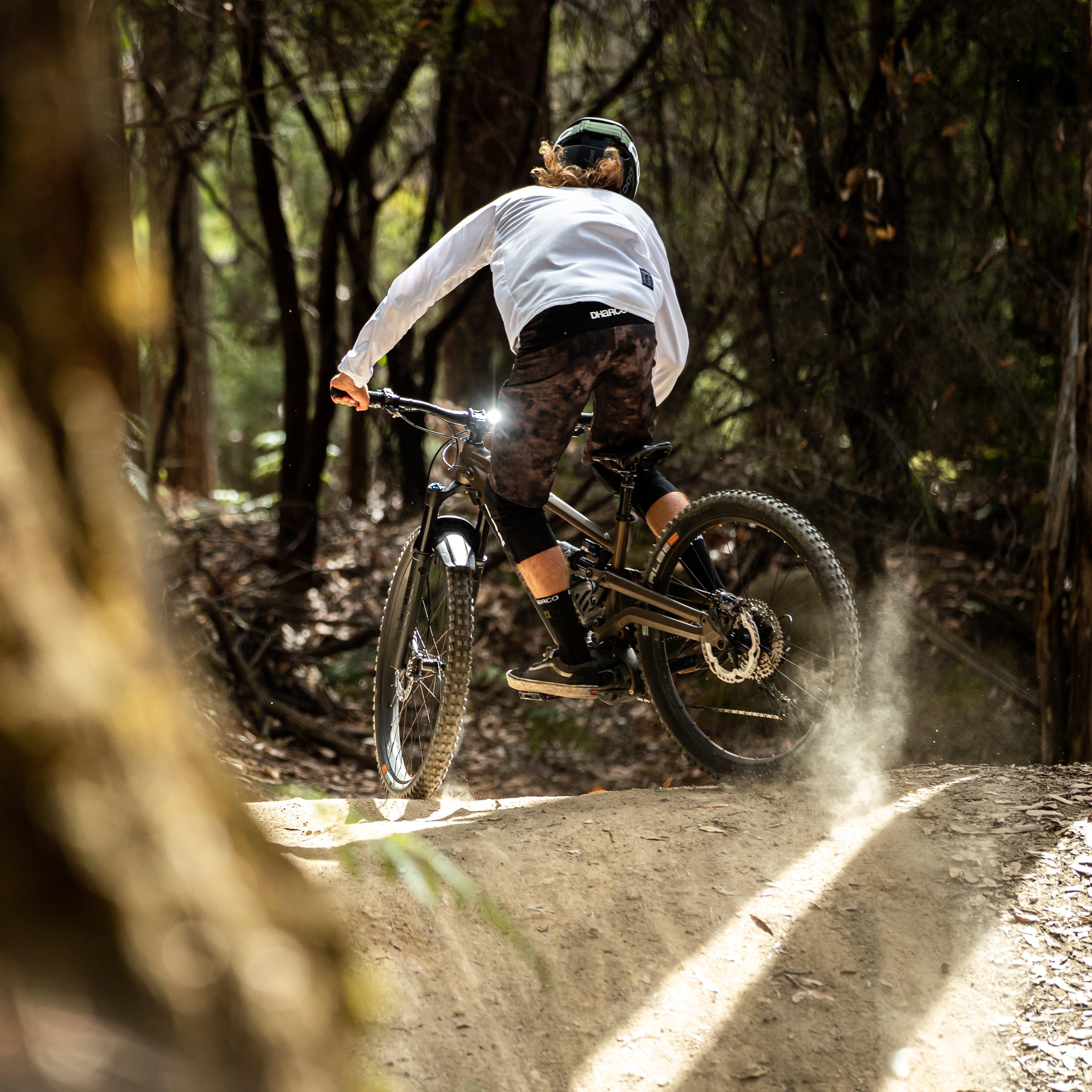
Beginners Guide to Mountain Biking
This is Mountain Biking Fast, fun and dirty, Mountain Biking is all about enjoying the thrill of two wheels off-road. Not only is Mountain Biking great for fitness, it’s sure...
Read Article -
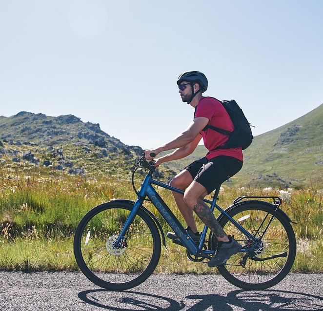
Expert Advice: Ebikes Buying Guide
eBikes are the hot ticket in cycling. As their performance improves, prices fall and confidence in the technology soars, more and more cyclists are making the investment. Before dropping big...
Read Article -
Expert Advice: Bike Maintenance Made Simple
Your bicycle needs regular cleaning and maintenance to keep it running at its best. Keep on top of these basic chores and you can avoid costly repairs and increase the...
Read Article -
Expert Advice: Helmet Sizing Guide
There are plenty of bike helmet styles to choose from! Road cyclists, commuters and cross-country mountain bikers typically wear a shallower-fitting, lightweight helmet with good aerodynamics and lots of ventilation...
Read Article -
A Guide to Cycling Lights
Staying visible while on the bike is crucial, both for your safety and that of other road users. That's why bike lights are an essential piece of kit and a...
Read Article -
A Guide to Bike Locks
Almost half a million bikes are stolen every year in the UK so a good bike lock is an essential purchase if you plan on leaving your bike unattended while...
Read Article -
A Guide to Inner Tubes
If you've had a puncture, you'll need to either repair your tyre's inner tube or buy a replacement. The inner tube is the part of the tyre that contains the...
Read Article


Climbing Guides
-
Climbing Beginners Guide
Rock climbing is one of the fastest growing sports in the UK at present, due to it being a fun yet challenging way of getting fit. Whether you’re scaling walls...
Read Article -
A Guide to Climbing Shoes
Climbing shoes are an essential part of your climbing equipment, and you need a shoe that can be flexible and durable enough to offer you protection, grip and comfort as...
Read Article -
A Guide to Climbing Rope
Climbing rope is dynamic which means it has a lot of stretch in it to distribute sudden forces caused by a fall. Ropes are used to help prevent the climber...
Read Article -
A Guide to Climbing Bags
No matter what kind of climbing you intend to do, you need a suitable keep all your essentials for climbing. Designed in a rucksack or ‘holdall’ style, a climbing bag...
Read Article


Horse Riding Guides
-
A Guide to Body Protectors
If you fall from a horse, you need plenty of cushioning to your core organs, as well as your ribs. Your spine cannot be protected from a horse riding protection...
Read Article -
A Guide to Horse Riding Stable Equipment & Horse Care
Stable equipment such as horse brushes, horse shampoo and insect repellent for horse can make sure you maintain your horse effectively. Shop All Horse Care Shop All Stable Equipment Stable Brushes...
Read Article


Running Guides
-
Running Shoe Buying Guide
When it comes to running gear, your shoes are the most important part. For comfort, stability, injury prevention, performance, and more; you’ll be spending a lot of time in them,...
Read Article -

Beginner’s Guide to Trail Running
Trail running is fun, fast paced, and you can do it just about anywhere! You don’t have to run up fells and across mountain ridges to be a trail runner,...
Read Article -

A Guide to Hydration Systems
Staying hydrated in the outdoors can seem a low priority. You're out enhjoying the view, your run, or your walk and thirst strikes! You want to ignore it and carry...
Read Article -

A Guide to Running Bags and Daysacks
When you’re running, you sometimes need more than the clothes on your back and the songs in your head. Shop Running Packs Choosing a Running Bag With trail running becoming...
Read Article


Fishing Guides
-
Taking the Perfect Photo of Your Prize Catch
You spent hours, perhaps days waiting for that ground-breaking catch and then something remarkable happens- you finally hit your new PB. You’re not sure if your word will cut it...
Read Article -
Fish Care: Releasing Fish Safely
Any angler will tell you that the adrenaline you get when you get a bite on the end of your rod is unbeatable. But they’ll also say that looking after...
Read Article -

What is a Fishing Licence & Why Should You Get One?
Fishing for many is about more than just catching fish. It’s a fantastic way to immerse yourself in the great outdoors, spend quality time with friends and escape the pressures...
Read Article


Clothing Guides
All the knowledge you need to select the right waterproof or padded coats, midlayers and baselayers, as well as top tips on caring for your outdoor clothing.
-
Buying Guide: Waterproof Jackets
The UK is famous for its unpredictable weather. It doesn’t matter what time of year it is, the next downpour will never be far away. Whether you’re popping to the...
Read Article -
Buying Guide: Insulated Jackets
When the colder months roll around, your trusty waterproof just isn't enough to keep you warm. Insulated Jackets are what you need for a winter coat and are ideal for...
Read Article -
Buying Guide: 3-in-1 Jackets
If you want a coat that provides both warmth and rain protection, with the flexibility to adapt to all seasons, a 3-in-1 jacket is the perfect option to suit your...
Read Article -
Buying Guide: Softshell Jackets
Layers are a versatile way of dealing with the changing weather conditions that we have come to know and loath in the UK. Softshell jackets are an integral part of...
Read Article -
Buying Guide: Gilets and Body Warmers
Sometimes, the British weather doesn't really know what it wants to do. Temperatures fluctuate up and down, making the decision whether wear a coat or not a recurring dilemma. One...
Read Article -
Baselayers Buying Guide
Insulation starts with your baselayer, and it’s a must-have for combatting the cold. Choosing the right one can be a bit of a minefield, so read through our guide and...
Read Article -
Expert Advice: The Layering System
If you live in Britain, you're most probably used to layering up when heading outside. Our ‘diverse’ and unpredictable weather means that layering is an important part of how we...
Read Article


Technology Guides
-
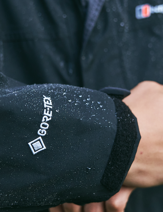
A Guide to GORE-TEX® Products
From the very beginning GORE-TEX Brand has been committed to supporting the passions that keep people moving. GORE-TEX® Products are well known for providing long-lasting, comfortable weather protection in some...
Read Article -
Keep It Fresh, Keep It Mindful – Thanks to Polygiene StayFresh™
Imagine wearing your favourite gear multiple days in a row without the usual smell creeping in. Sounds good, right? Out on the mountain, laundry isn’t always an option and honestly,...
Read Article -
A Guide to Breathability
When it comes to outdoor wear, from shoes to jackets or mid layers, the best and most useable fabrics are breathable. Arguably more important than being windproof or waterproof, breathable...
Read Article -
Expert Advice: Merino Wool
Merino wool; the unsung hero of cosy base layers and snuggly socks. This unique fabric provides warmth, breathability, stretch and moisture wicking qualities, making it an ideal next to skin...
Read Article -
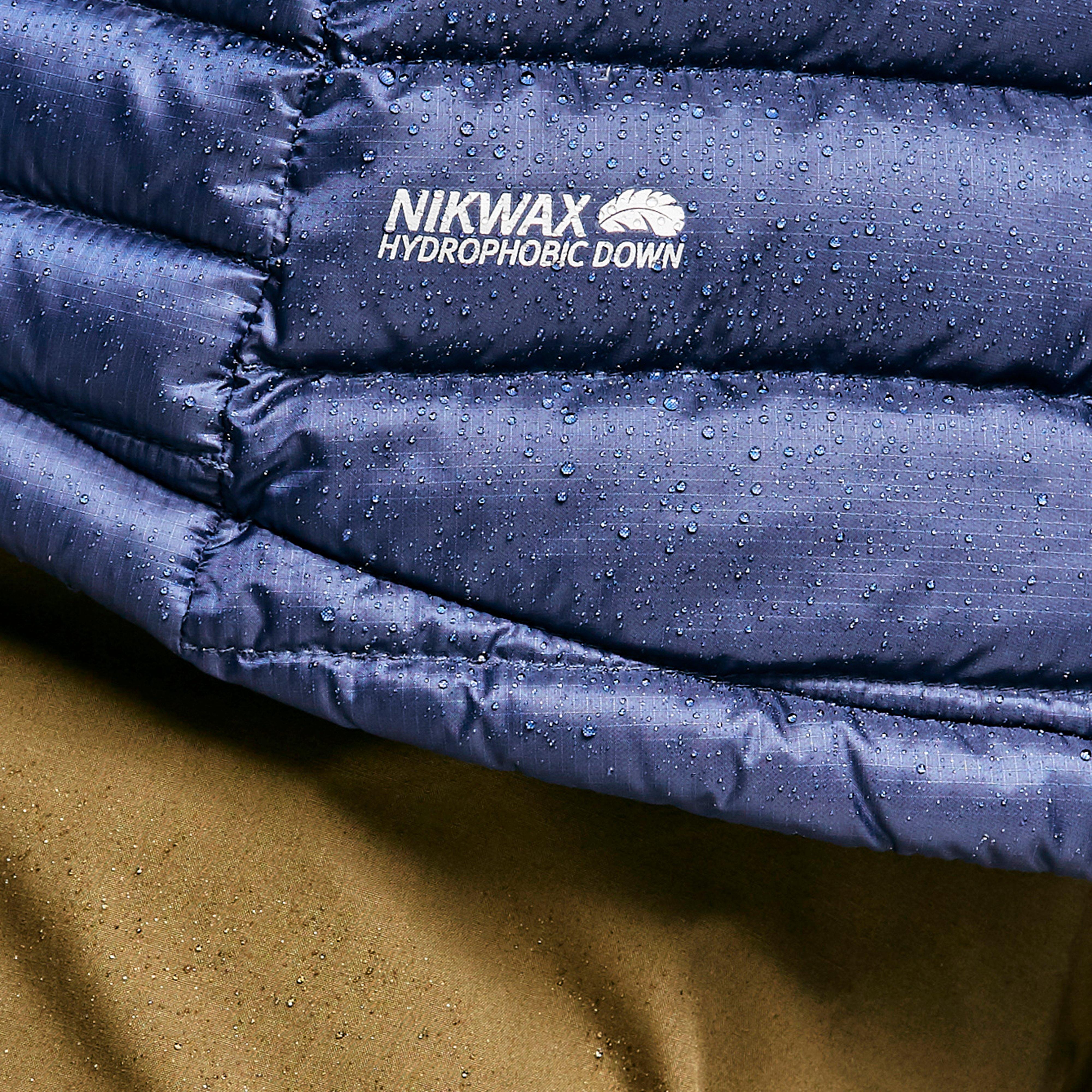
A Guide to Waterproofing & DWR
Waterproofing is essential for outdoor clothing and equipment to protect against the elements. Whether you're braving the rain or facing damp conditions, understanding how waterproofing works can help you choose...
Read Article -
A Guide to Windproofing
This guide explains how windproofing works, from breathable areas and fabrics as well as coatings and ratings that can test the level of windproofing. Why You Should Choose Windproof Protection...
Read Article


Skiing Guides
-
A Guide to Dressing Your Kids for Skiing
There are few things more miserable than a cold, wet and uncomfortable child in a snowstorm. You cannot plan the weather, but you can prepare your children for it. So,...
Read Article -
Expert Advice: Skiing Gear Guide
Maybe you've booked your first family ski trip for easter half term, or perhaps friends have rented a ski chalet and you're considering taking up the invitation. Whatever your reasons,...
Read Article


Meet Our Authors
-
Natalie Wolfenden
-

Calum Jones
-

Sam Chadwick
-

Jodie Warburton